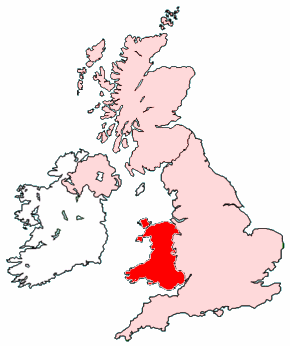
Стопа:Map of Wales within the United Kingdom.png
Айдать на коробушку
Айдать на сыскальник
Нету лучево лада етой стопы.
Map_of_Wales_within_the_United_Kingdom.png (290 × 346 pixels, file size: 35 KB, MIME type: image/png)

|
File:Map of Wales within the United Kingdom.svg is a vector version of this file. It should be used in place of this PNG file when not inferior.
File:Map of Wales within the United Kingdom.png → File:Map of Wales within the United Kingdom.svg
For more information, see Help:SVG. |
 |
.
Created by Morwen.

|
Permission is granted to copy, distribute and/or modify this document under the terms of the GNU Free Documentation License, Version 1.2 or any later version published by the Free Software Foundation; with no Invariant Sections, no Front-Cover Texts, and no Back-Cover Texts. A copy of the license is included in the section entitled GNU Free Documentation License. |
| This file is licensed under the Creative Commons Attribution-Share Alike 3.0 Unported license. | ||
| ||
| This licensing tag was added to this file as part of the GFDL licensing update. |
File history
Click on a date/time to view the file as it appeared at that time.
| Date/Time | Thumbnail | Dimensions | User | Comment | |
|---|---|---|---|---|---|
| current | 05:21, 15 Серьпня 2005 | | 290 × 346 (35 KB) | commonswiki>Wighson | More detail |
Вязки
The following page uses this file: